11 Alp la Schera
On this walk we go along a stretch of the historical former route to Livigno, where horse-driven carts still travelled in the early days of the Park.
This ‘Truoi (mountain track) da Freel’ linked the Val del Gallo and Livigno with Punt la Drossa. Our walk passes through mountain pine forest that is typical here in the Park; fallen trees lie rotting on the ground, a common sight.
Particularities
Numerous anthills, marmots on Alp la Schera, interesting flora and stunning views towards Lago di Livigno and Val da l’Acqua.
Follow-up hikes
Return to the starting point or descent to Il Fuorn/P6 (bus stop: Il Fuorn/P6) or continuation on reverse Route 15.
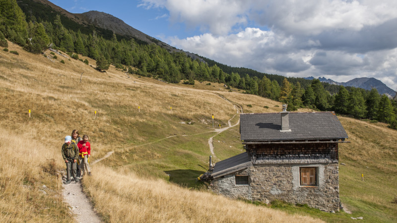
© Schweizerischer Nationalpark/Hans Lozza
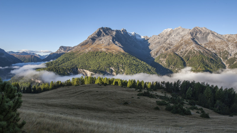
© Schweizerischer Nationalpark/Hans Lozza
11 Alp la Schera
Difficulty: white-red-white / easy
Easy hike, also suitable for children.
Arrival
Starting point can be reached by post bus (bus stop: Punt la Drossa/P4)
- child-friendly
Season
June, July, August, September, OctoberRoute-information
- Length
- 6.00 km
- Altitude difference ascent
- 400 m
- Altitude difference descent
- 400 m
- Time required
- 2 hours 15 minutes
- Level technique
- Easy
- Level condition
- Easy
Arrival
- Starting point
- Punt la Drossa (Altitude: 1711 m)
- Arrival by public transport (stop/station)
- Punt la Drossa P4 Timetable SBB
- Destination
- Alp la Schera (Altitude: 2095 m)
Infrastructure
- Picnicplace
The offer is suitable for
- Adults
- Children from 7-12 years
- Children >12 years
- 50+
- Families
- Groups
Contact
NationalparkzentrumUrtatsch 2
7530 Zernez
Telephone +41 (0)81 851 41 41
Mobile -
http://www.nationalparkzentrum.ch